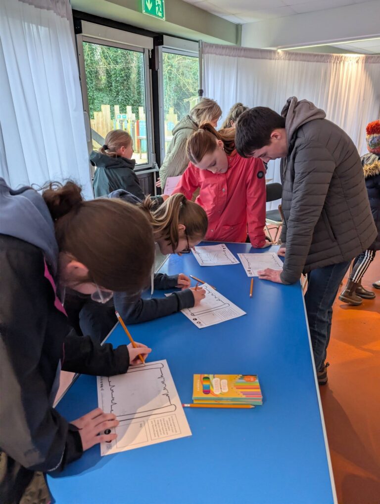
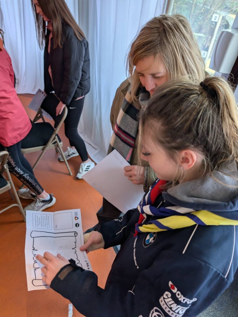
As part of Northern Ireland Science Festival and the public consultation programme, the team delivered a series of interactive educational sessions exploring the history of map-making and the evolution of the borough’s historic environment. Using the Historic Environment Map Viewer, participants investigated how local places and landscapes have changed over time.
A total of 36 people attended the two sessions held at the Navan Centre & Fort. Through exploring historic maps, participants uncovered features within their local areas that they had not previously known existed, including former post offices and police stations. They also identified well-loved local places that have remained largely unchanged over the years, providing a fascinating insight into the continuity and transformation of the borough’s heritage.